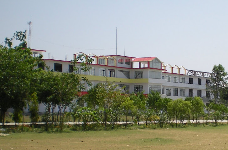
MIT Bulandshahr

MIT Bulandshahr

Tuesday 31 January 2012

What is GIS?


A geographic information system (GIS) integrates hardware, software, and data for capturing, managing, analyzing, and displaying all forms of geographically referenced information.
GIS allows us to view, understand, question, interpret, and visualize data in many ways that reveal relationships, patterns, and trends in the form of maps, globes, reports, and charts.
A GIS helps you answer questions and solve problems by looking at your data in a way that is quickly understood and easily shared.
GIS technology can be integrated into any enterprise information system framework.
Monday 30 January 2012

Synopsis Presentation

Synopsis Presentation for 
all B.Tech final Year students 
is scheduled on 
6th February 2012 at 9:30 AM

Synopsis Format

Synopsis Format


Click on the link above to get synopsis format. Note this is only a format. Your Synopsis should be similar to this.

Saturday 28 January 2012

Our blog pageviews


Jan 10, 2012, 3 comments
25 Pageviews
Jan 16, 2012
14 Pageviews
Jan 5, 2012
13 Pageviews
Dec 12, 2011
12 Pageviews
Jan 16, 2012
8 Pageviews
Sep 21, 2011, 1 comment
6 Pageviews
Sep 1, 2011, 2 comments
5 Pageviews
Sep 19, 2011
5 Pageviews
Dec 2, 2011
4 Pageviews
Nov 30, 2011
3 Pageviews